

Mapping tool reveals Church land development potential
In 2020, the Archbishops Commission on Housing, Church and Community began to work with Knight Frank to develop a tool that could help identify Church land and its potential for providing homes in areas of housing need.
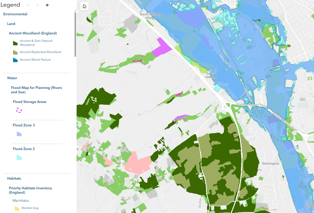
Now the Archbishops Council Housing Project has continued that collaboration and developed the Good Steward Mapping Tool much further. Different layers now show where registered Church land is owned by parishes, dioceses and the Church Commissioners. It includes other valuable data useful in the planning process such as land designations, heritage assets, flood zones and green belt.
For a glimpse at what the tool offers, and how you can obtain a license (currently only available to dioceses), visit the GSMT Page here.